
This week · Simulation
Test a road closure
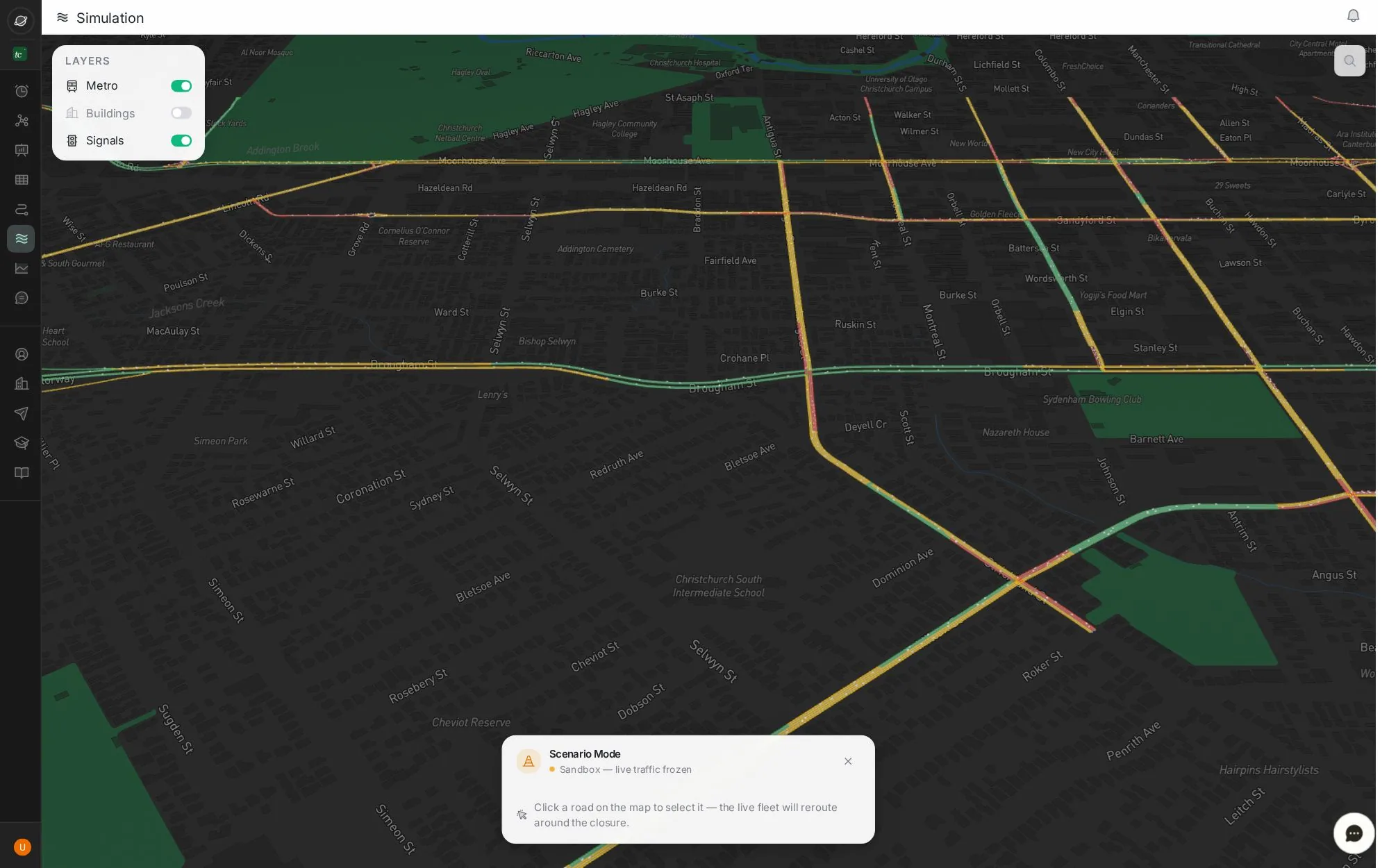
A live 3D model of your network. Close a road and the simulated fleet reroutes: you get the added delay, the queue and the roads affected.
3 stepsAbout 2 minClick the blue dot, or press →
Step 1 of 3 · look
Choose what to show
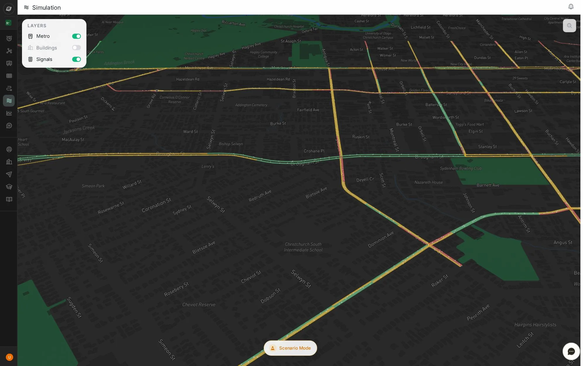
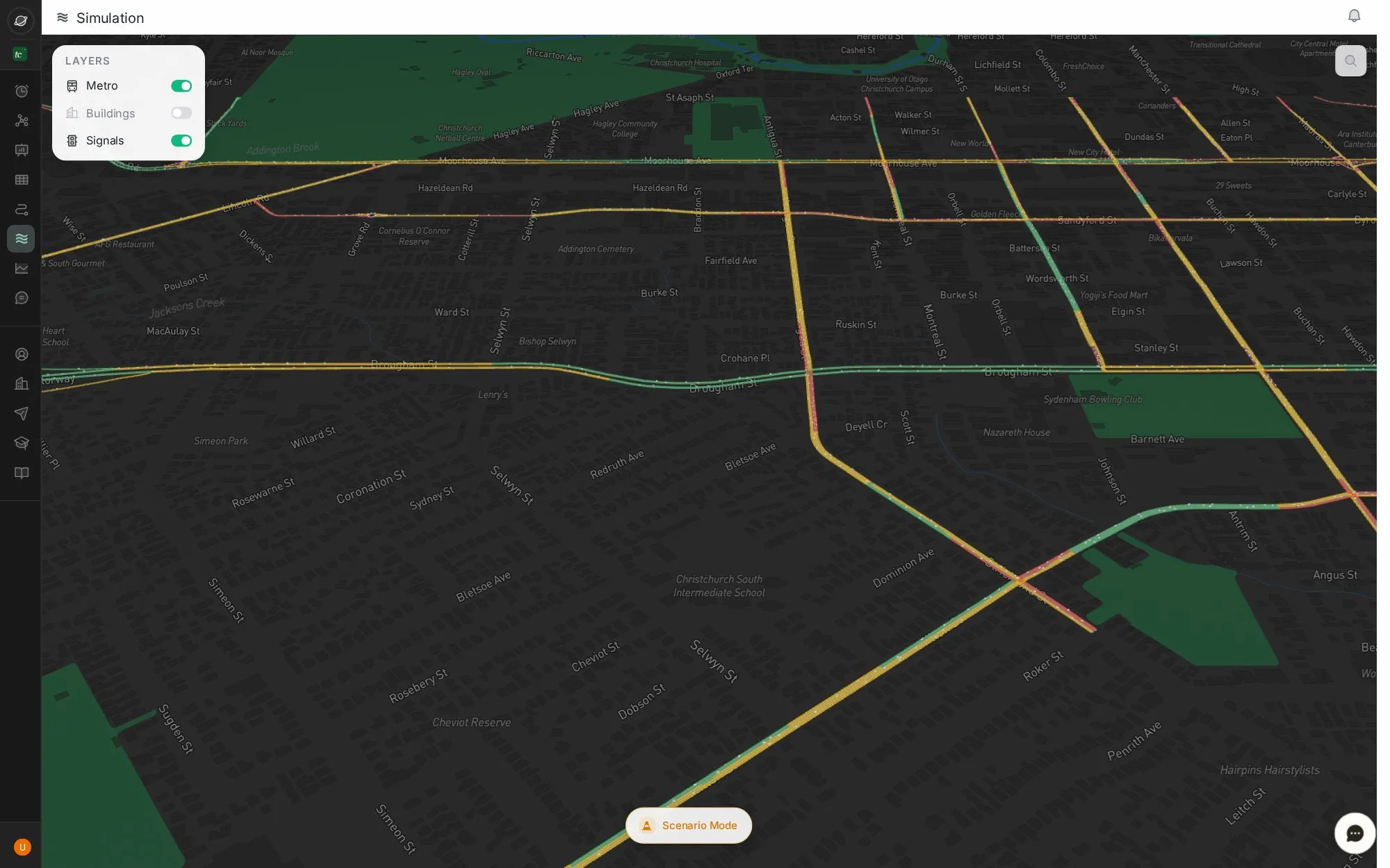
Open Simulation. Turn metro lines, buildings and signals on or off in Layers.
Colours on the roads show simulated speed: green is free flow, red is slow.
Tip: use ← and → keys. Click the screen to zoom.
Next job
Find the worst area in the city
Rank areas by delay at the evening peak, check it repeats, and generate the report.
Next jobProve a change worked
Compare the weeks before and after a change, road by road, in one report.
Every buttonSimulation screen
A live 3D model of the network, and a sandbox to test closures.
Verified in the live app · 29 Sept 2026 Screens from a live city workspace. Your city will look different.